


AERIAL IMAGING • CINEMATOGRAPHY • FAA LICENSED
Atlanta Aerial Photography & Drone Cinematography
See the story from a perspective that once required cranes, tracks and complex production infrastructure. Karen Images and Metro Productions combine aerial photography with cinematic drone movement to create compelling imagery for architecture, development, corporate marketing, advertising, events and film production.
MORE THAN A CAMERA IN THE SKY
A Camera Without the Track
A drone gives an experienced cinematographer the ability to move a camera through three-dimensional space in ways that once required cranes, dollies, tracks and substantial production infrastructure.
The camera can rise from ground level, track alongside a subject, sweep through an environment, orbit a structure or reveal an entire property in a single continuous movement. The result is more than an aerial view—it is another cinematic tool for telling the story.
The technology makes the movement possible. Cinematography is knowing where the camera should go, how it should move and why the shot belongs in the story.
ONE AERIAL PLATFORM • MULTIPLE PERSPECTIVES
Aerial Imaging Built Around the Assignment
Aerial imaging can serve very different purposes. Sometimes the assignment is about showing the scale and relationship of a property. Sometimes it is documenting progress from above. And sometimes the camera needs to move through the environment as part of a larger film.
Aerial Photography
High-resolution aerial imagery for architecture, commercial real estate, development, construction, corporate campuses and marketing—planned around composition, light and the way the property will ultimately be presented.
Drone Cinematography
Purposeful camera movement for commercials, corporate films, branded content and event productions. Tracking, reveals, orbits and transitions are designed as shots within the production—not simply footage captured from the air.
Integrated Production
Combine aerial photography and cinematography with ground-based photography, video, professional audio and post-production through Metro Productions, creating one coordinated production rather than managing multiple vendors.
SEE THE COMPLETE ENVIRONMENT
Perspective That Shows the Bigger Picture
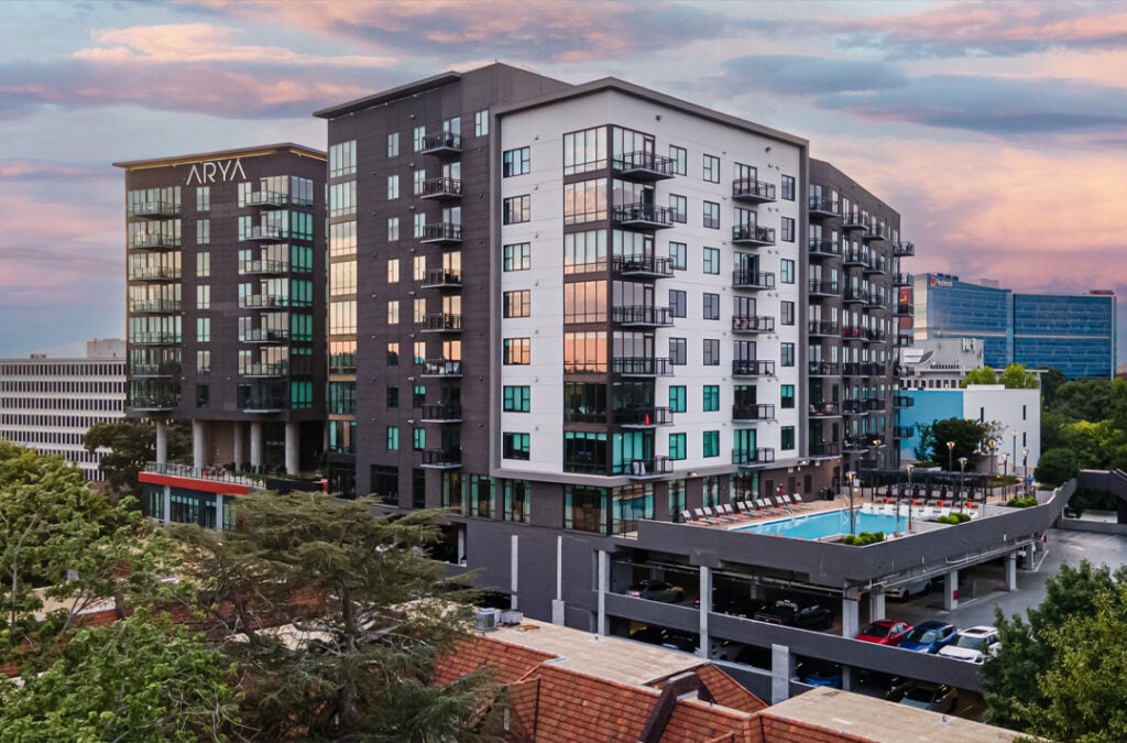
Some stories cannot be understood from ground level alone. Aerial photography reveals how a building relates to its surroundings, how a development is organized, how a property connects to the community and how a project changes over time.
For architects, developers, construction teams, commercial real estate professionals and corporate marketing departments, we create aerial imagery that does more than document a property. Every flight is planned around composition, light, perspective and the purpose of the finished images.
From a single signature view to a coordinated library of ground and aerial photography, the goal is the same: show the property in a way that helps people understand its scale, design and place in the world.
DESIGNED TO MOVE
Movement With a Purpose
The most effective drone cinematography is rarely about flying higher. It is about moving the camera in a way that reveals something the audience could not experience from a fixed position.
A slow approach can establish scale. An orbit can reveal architecture and environment together. A rising shot can transform an intimate detail into a sweeping sense of place. Tracking movement can bring energy to people, vehicles and events.
We plan aerial shots with the same questions we bring to ground-based cinematography: Where should the camera begin? Where should it end? What should be revealed along the way? And how does the movement advance the story?
That approach allows aerial footage to cut naturally with ground-based cameras and become part of the film rather than simply an aerial shot inserted into it.
PLANNED BEFORE TAKEOFF
The Flight Is Only Part of the Production
Successful aerial imaging begins long before the aircraft leaves the ground. Location, airspace, weather, sun position, surrounding structures, people and the intended camera movement can all affect how a flight should be planned.
As an FAA-licensed drone operation, we approach aerial photography and cinematography as part of the production—not as an afterthought. We evaluate the requirements of the location, coordinate the flight around the assignment and determine what can be accomplished safely and effectively before arriving on site.
For larger productions, aerial work can also be coordinated with ground cameras, talent, vehicles and the production schedule so that each shot contributes to the finished story.
Aerial work may look effortless. The planning behind it rarely is
GROUND • AIR • AUDIO • POST
One Story – Every Perspective
The strongest aerial imagery often works because of what happens before and after the drone shot. A view from the air can establish a location, reveal scale or create a transition, while cameras on the ground bring the audience closer to the people, details and moments that complete the story.
Through Karen Images and Metro Productions, aerial photography and drone cinematography can be integrated with commercial photography, ground-based cinematography, professional audio and post-production as part of one coordinated production.
That means the aerial camera is not working in isolation. Its perspective, movement, lighting and timing can be planned alongside the rest of the production so the finished pieces feel like they were created by one team with one visual direction.
From the ground to the air, every camera has a job to do.
SELECTED AERIAL WORK
A Different Perspective Changes the Story
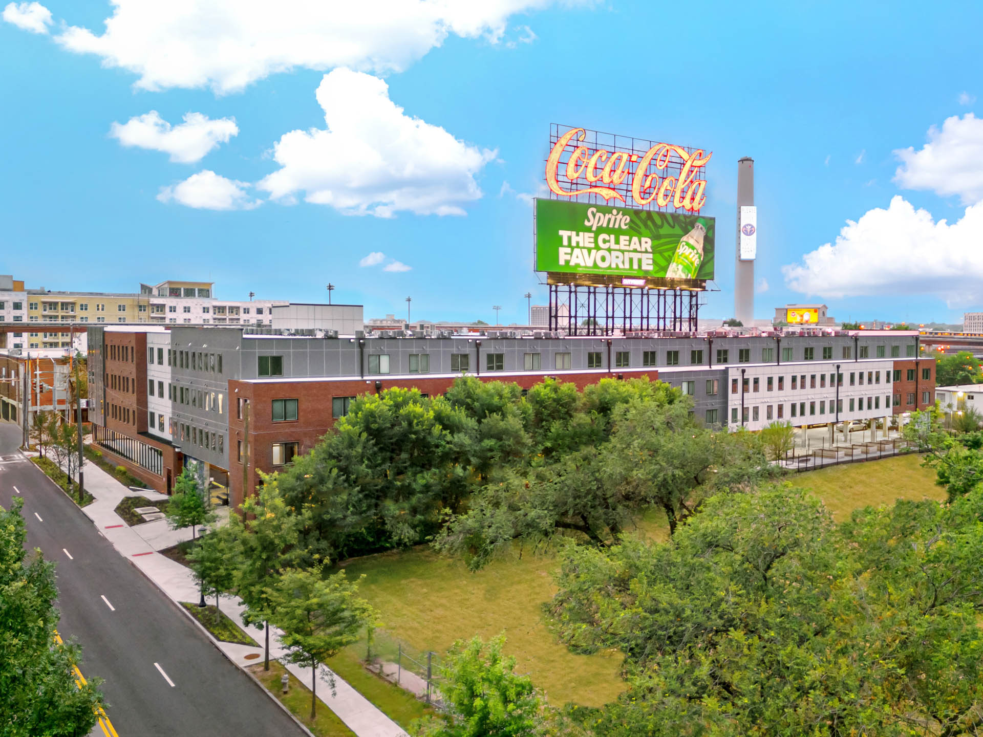
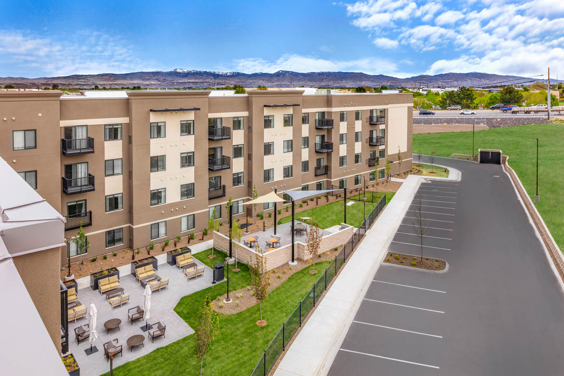
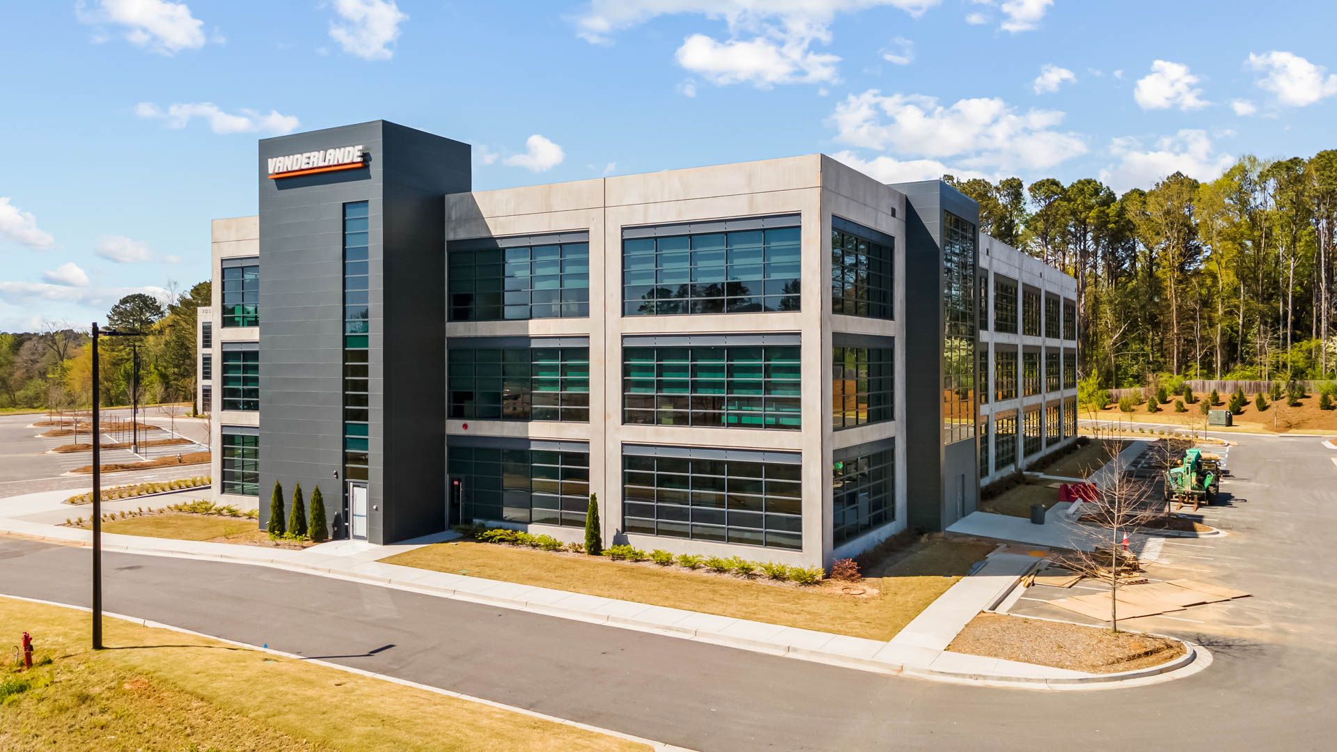
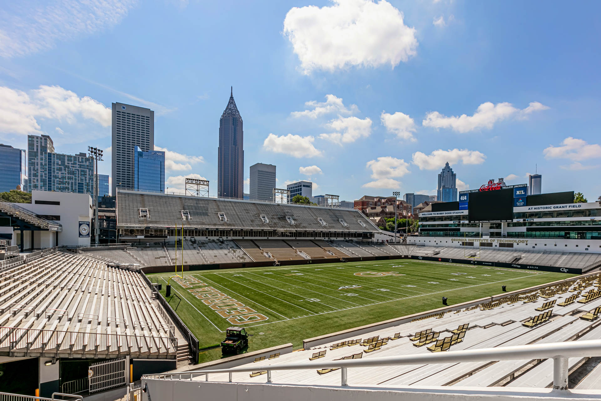

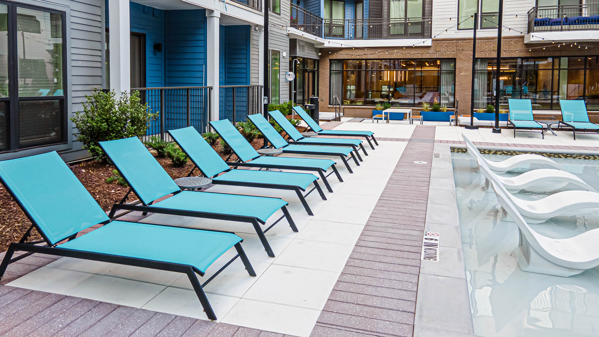
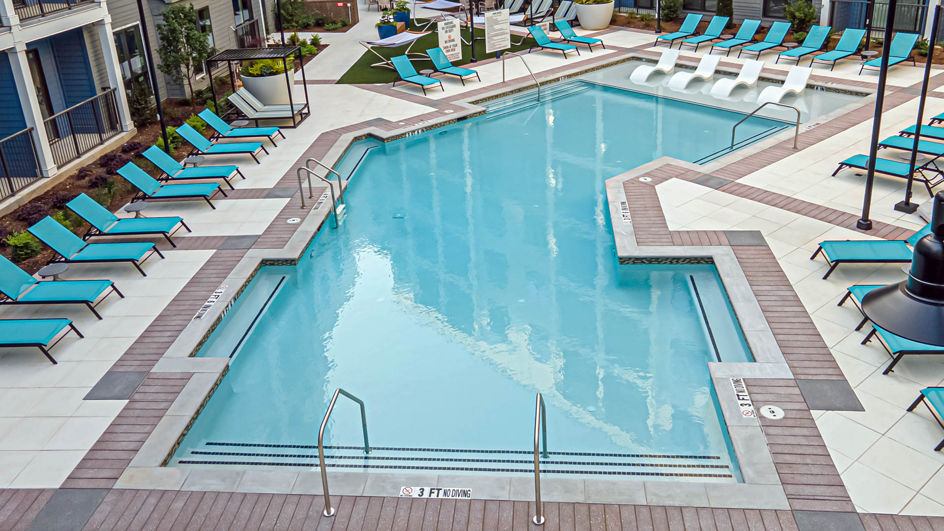
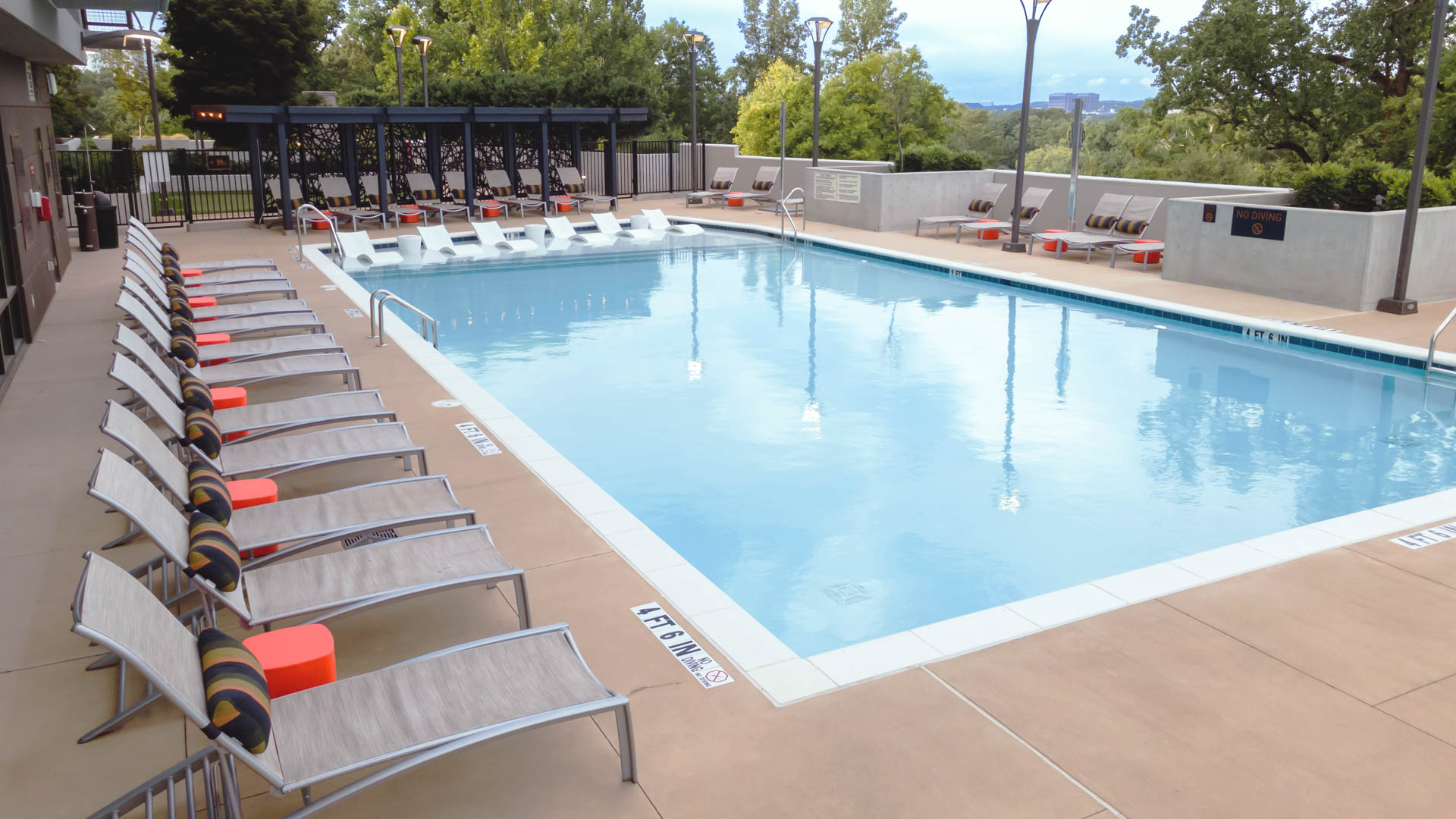
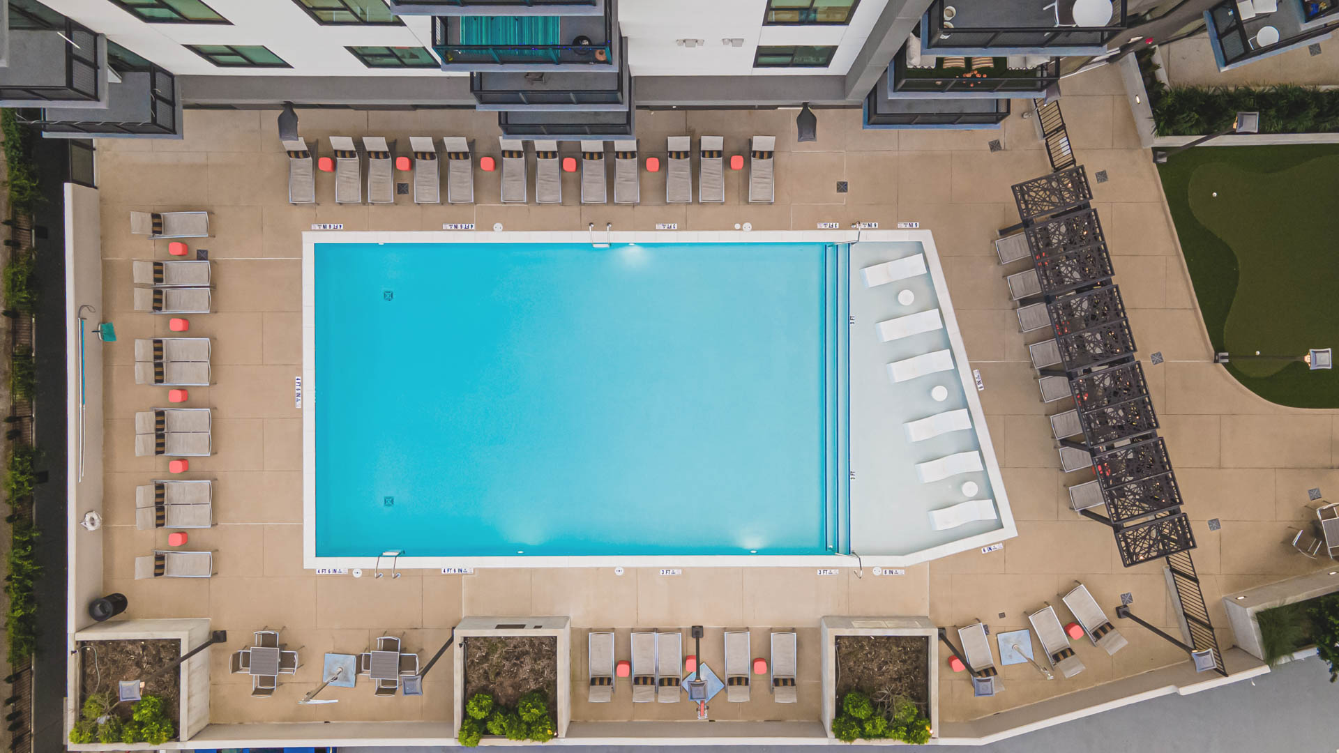
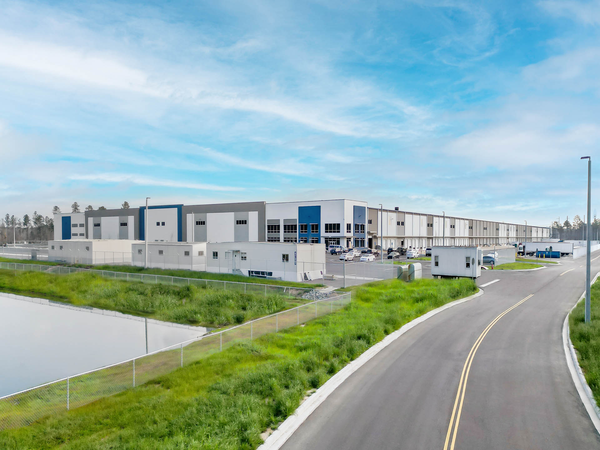
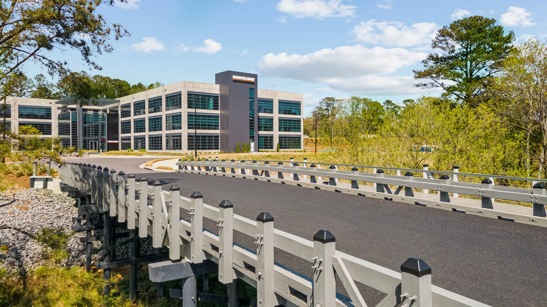
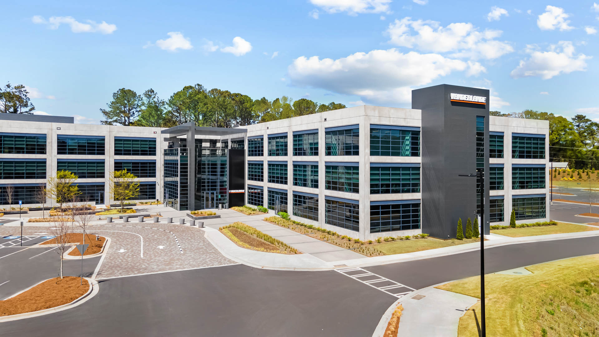
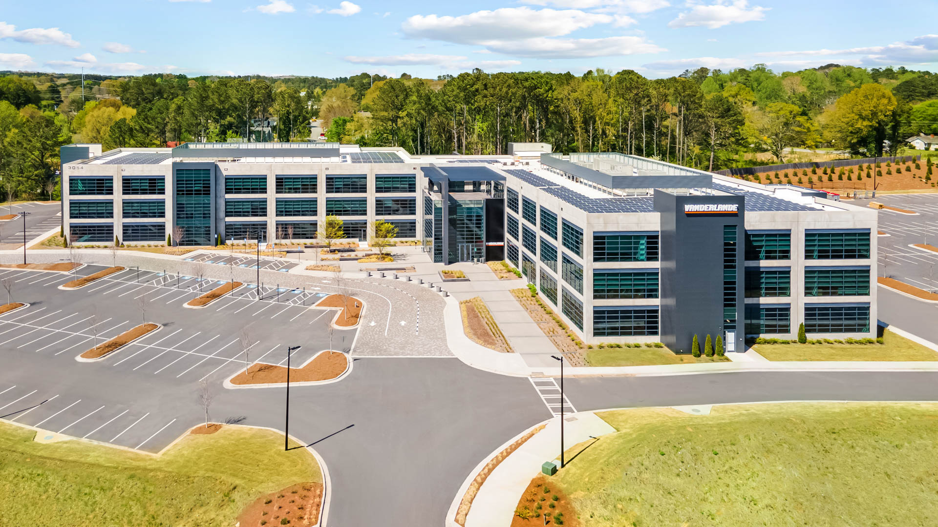
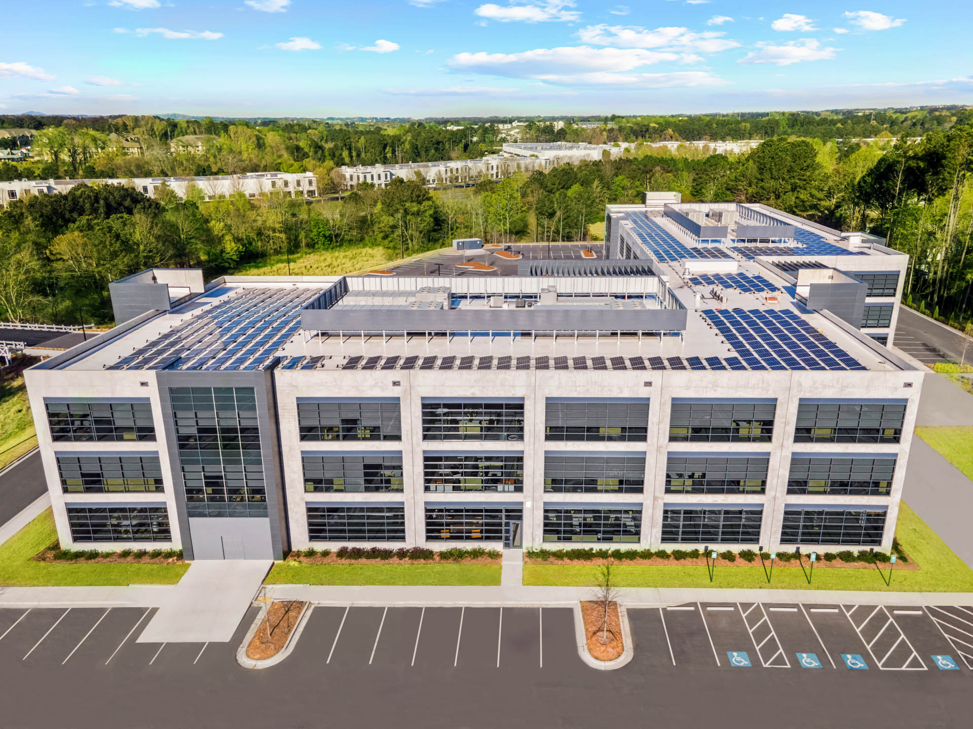
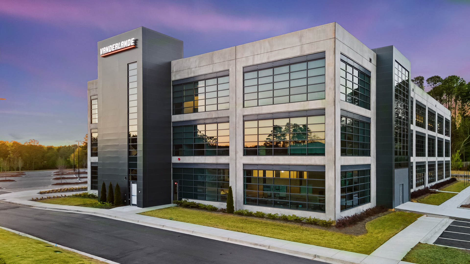
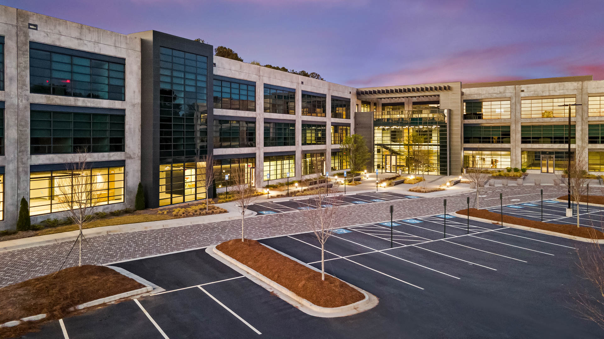
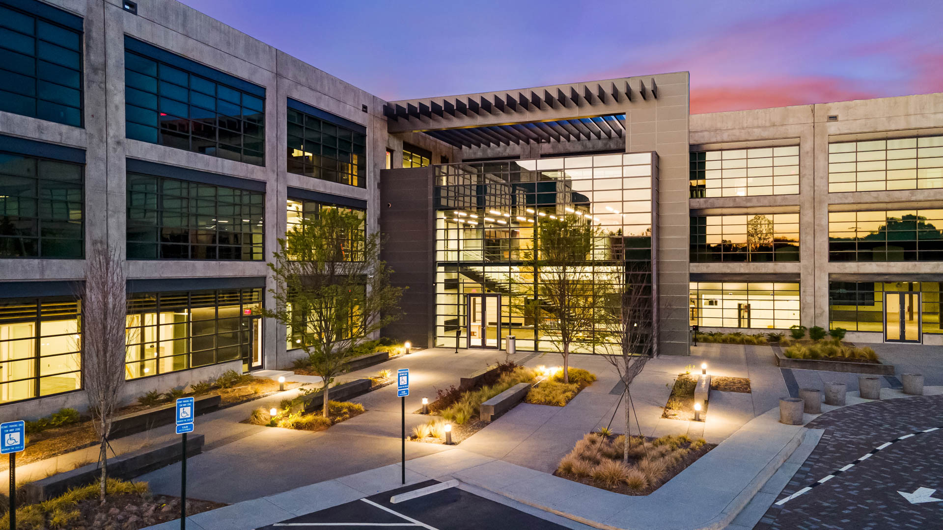
From architecture and development to commercial productions and live events, aerial imagery can reveal scale, movement and relationships that simply cannot be seen from the ground.
AERIAL IMAGING FAQ
Planning an Aerial Photography or Drone Cinematography Project
Aerial photography creates individual still images from perspectives that are difficult or impossible to achieve from the ground. Drone cinematography uses controlled camera movement to create sequences for commercials, corporate films, branded content and other productions. We approach cinematography as filmmaking, the movement of the camera should contribute to the story, not simply demonstrate that a drone was used.
Yes. Commercial drone operations are conducted by an FAA-certified remote pilot. Before a flight, we evaluate the location, airspace, weather and other operational considerations that may affect the assignment.
Not necessarily. Airspace restrictions, airports, temporary flight restrictions, property conditions, crowds and other factors can affect whether and how an operation can be conducted. We evaluate the location during production planning and determine what is required before the scheduled flight.
Yes, when the production requirements and flight conditions allow it. We can plan an assignment to create both high-resolution aerial photographs and cinematic footage, giving marketing and production teams a broader collection of visual assets from the same location.
Absolutely. This is one of the strengths of working with Karen Images and Metro Productions. Aerial shots can be planned alongside ground cameras so that movement, perspective and visual style work together in the finished production rather than appearing as unrelated drone footage.
Yes. Aerial imaging can document architecture, commercial properties, development sites, construction progress and the relationship between a project and its surrounding environment. Aerial photography can also be coordinated with ground-level architectural photography to create a more complete visual library.
Wind, rain, visibility and other conditions can affect safe operations as well as image quality. When conditions are unsuitable, we work with the client to determine the best alternative based on the assignment and production schedule.
Yes. Karen Images and Metro Productions are based in Atlanta and work throughout Georgia and beyond. For projects requiring travel, aerial operations are evaluated according to the location, airspace and production requirements of the assignment.
LET’S PLAN THE FLIGHT
Tell Us What You Need to Show
Every aerial assignment starts with the story. Tell us what you’re photographing or filming, where the work will be used and what you want the audience to understand or experience.
We’ll help determine the right combination of aerial photography, drone cinematography and, when needed, ground-based photography, video, professional audio and production support.
Whether the assignment is a single property, an ongoing development, a commercial campaign or part of a larger film production, we’ll build the approach around what the finished work needs to accomplish.

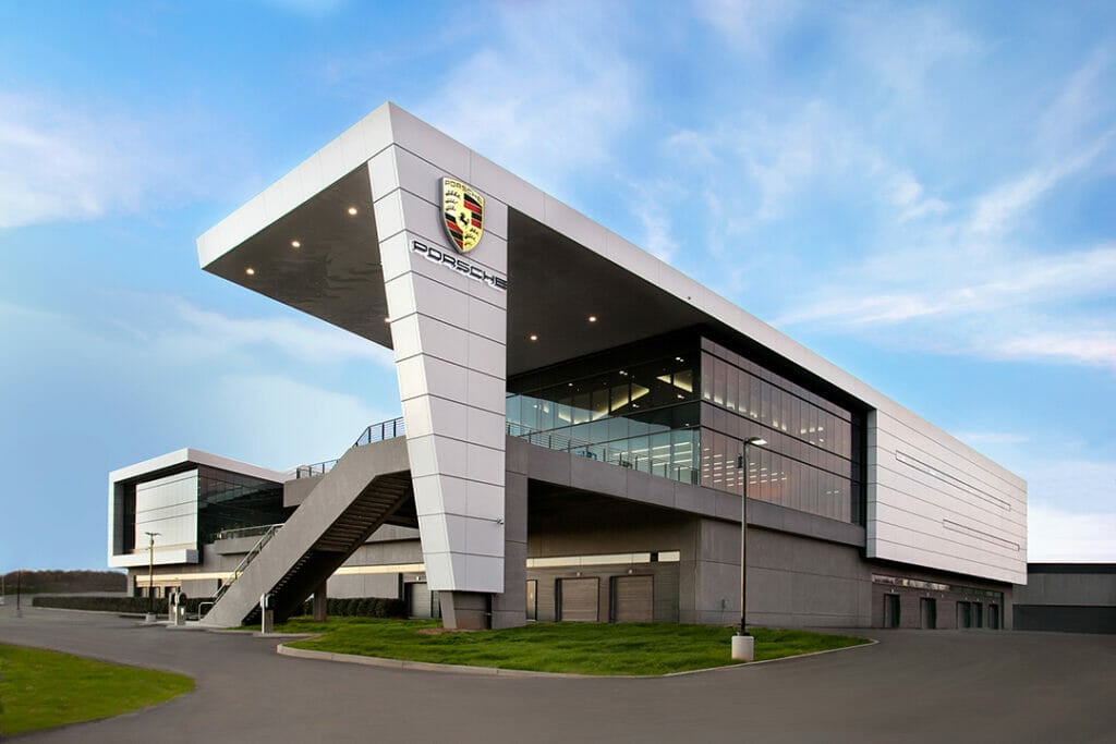
Architectural Photography
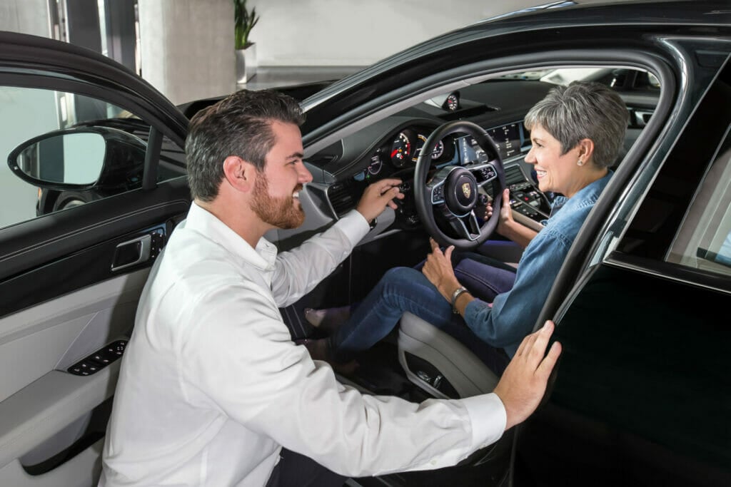
Marketing & Culture
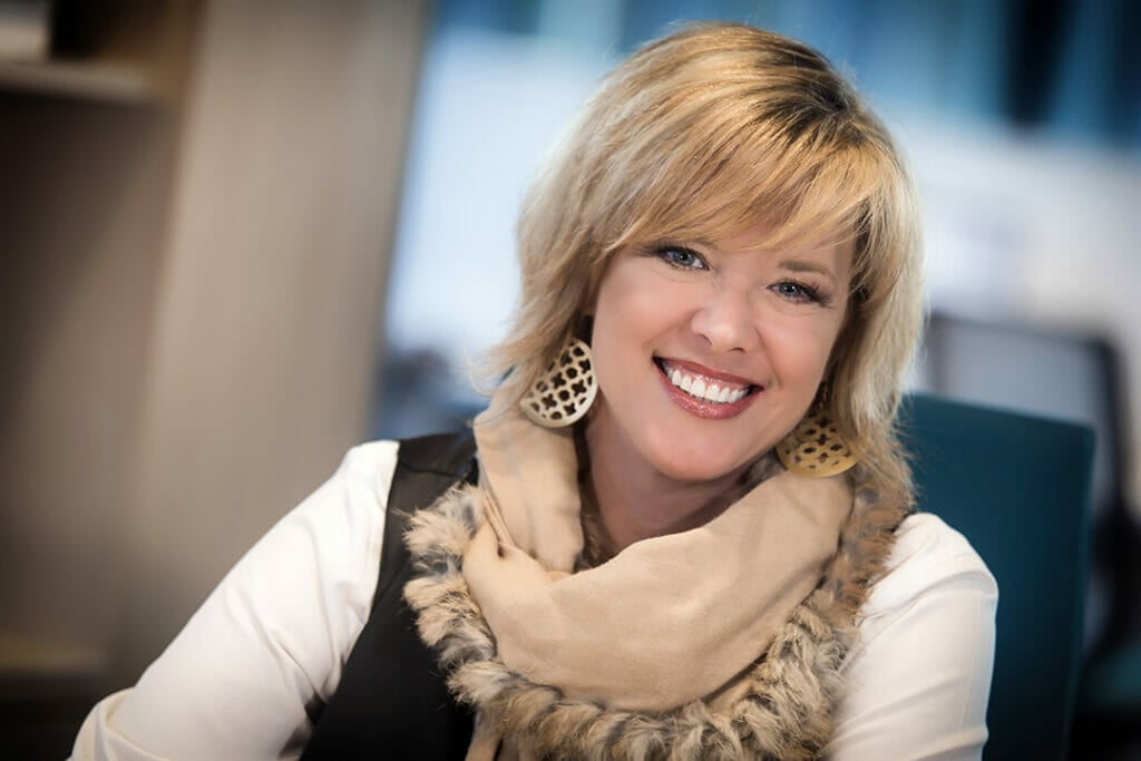
Corporate Headshots
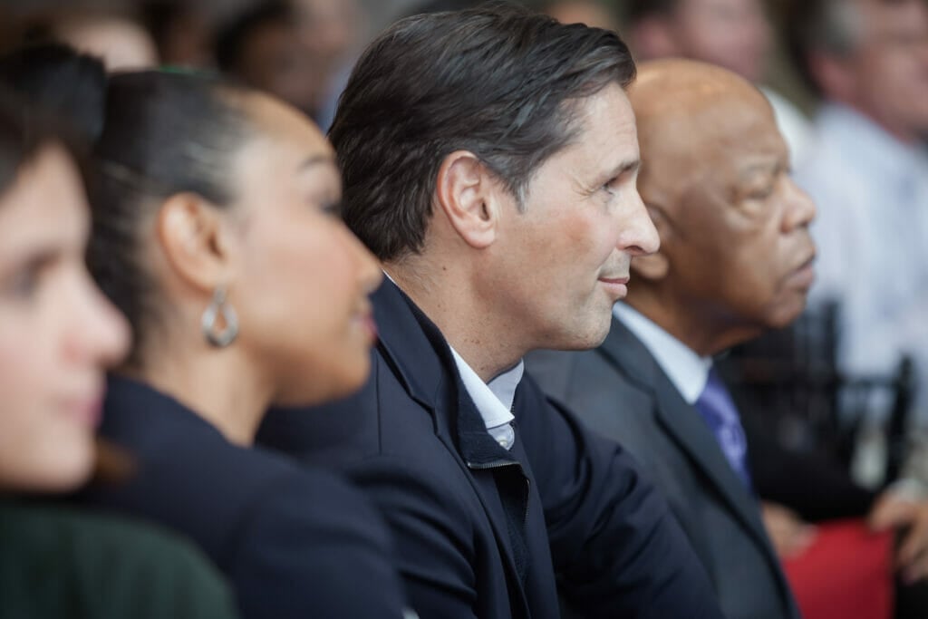
Event Photography
Aerial Imaging